It's February, 2026, and us Ice Coasters are having a ridiculous winter. The coastal snow fell and fell again and we had weeks of cold, keeping our powder fresh and plentiful. Among the long-dreamt lines I've skied now is, at the end of Mountain Road in York, Maine, Mt. Agamenticus.
Can you really call something 692 feet above sea level a mountain? I'm not sure, but I know, now, that you can ski on it. Mt. A, as the locals call it, is a monadnock, usually visible from much of the coastline between Gloucester, MA and Biddeford Pool, ME. It's the one mountain you can see from any of those coastal beaches and tiny surf breaks. Why was I so excited to ski it? I've seen this thing for most of my life, hiked on it a few times in the summer, and heard locals talk about when it used to have some lifts and ski trails.
On one Sunday and Monday, in the middle of January 2026, about two feet of dry, fluffy snow fell all along the Maine coast. A few days later, I drove up to York and arrived at the Mt. Agamenticus lower parking lot, hoping it had been plowed. It was clear, and empty, and I was off.
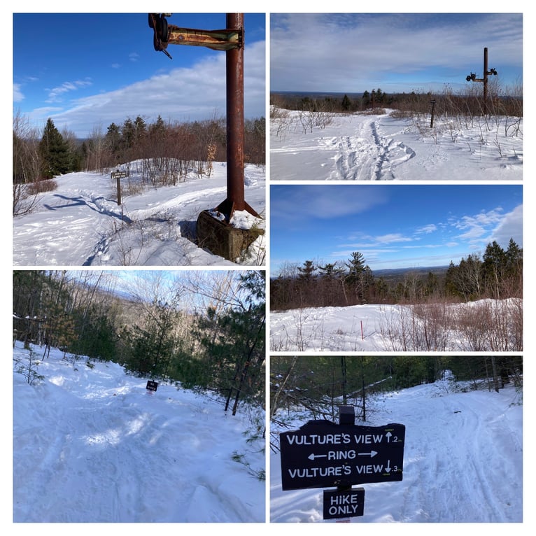
While a road (also plowed) goes to the top of the mountain, I didn’t love the idea of ending my laps at the top nor of getting those first turns for free, so I parked at the lowest lot and used its access to the Ring Trail as my starting point. My route roughly followed this ascent: I took the Ring Trail around and up, and then veered off of it at the big four-way junction and headed for some “no bikes”-signed steps to the top. Although there may’ve been steps, they were absolutely buried in the snow.
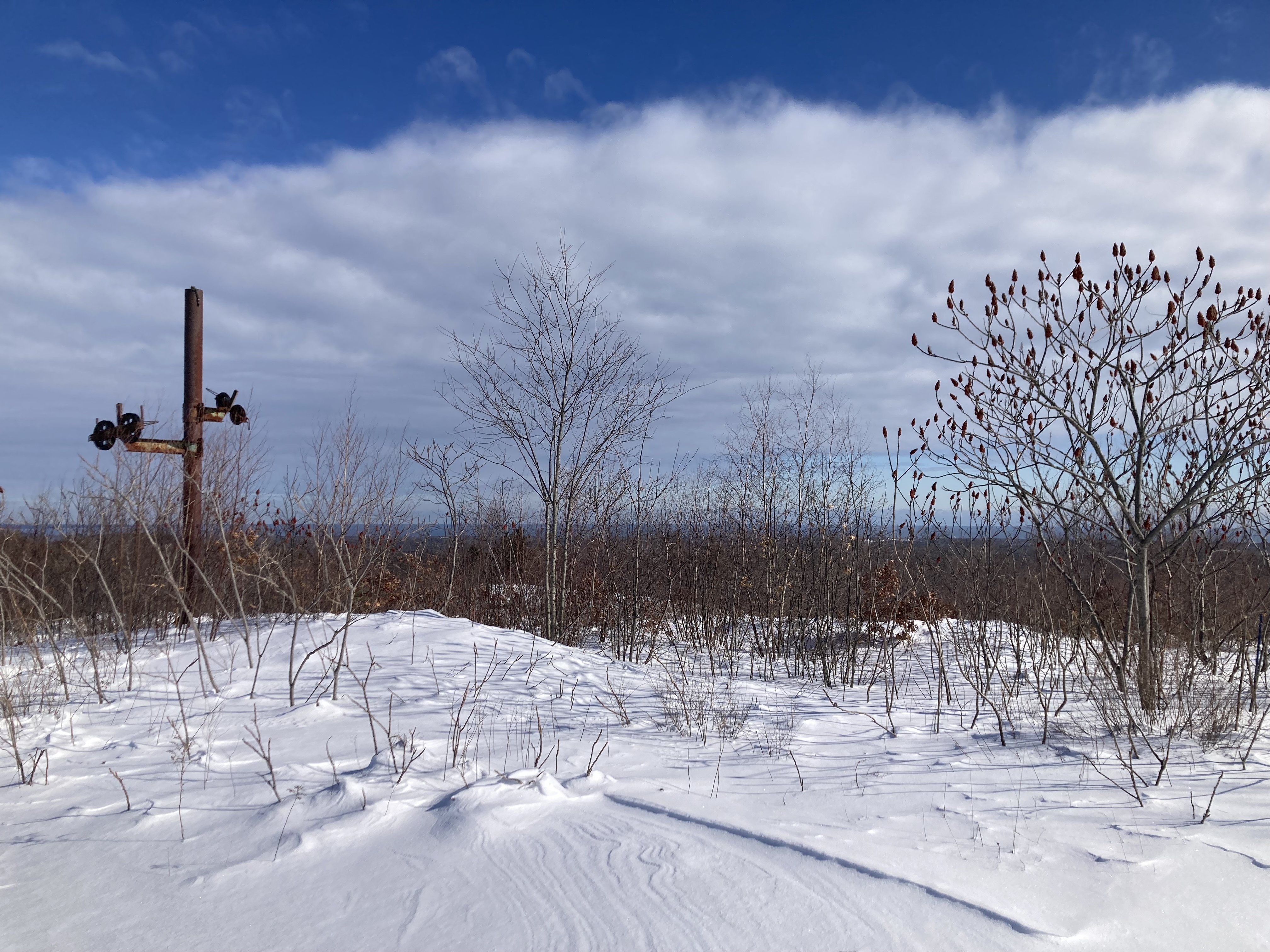
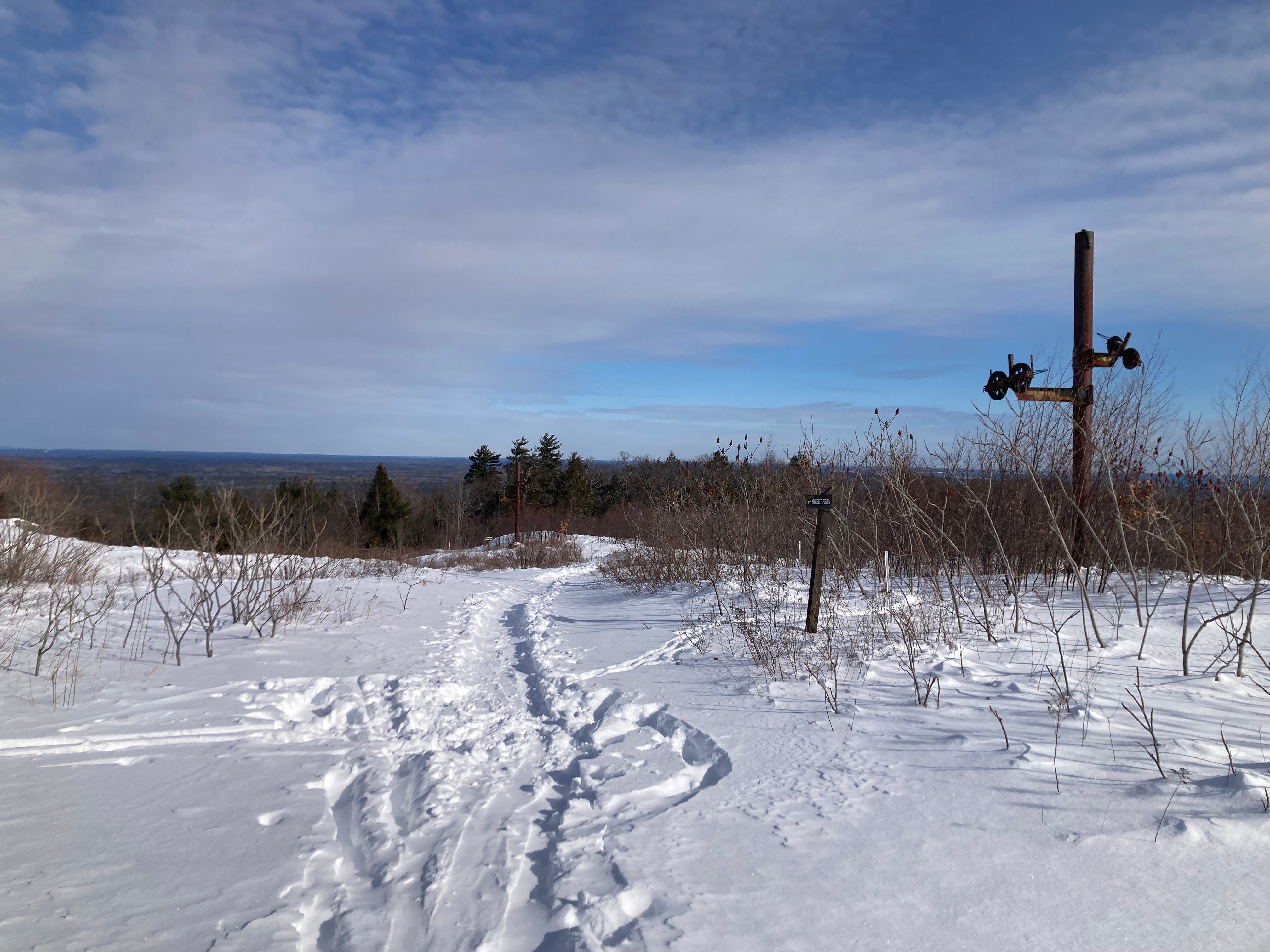
That route proceeded up the eastern and southern edge of the hill. When I got to the summit, I kept the building on my left and went almost straight across: the old lift and T-bar terminals are pretty clearly visible and were my best guess as to where the skiing might start. (I only identified them later, based on this post from a summer visitor.) My guesses were right: there were a fair number of ski tracks disappearing down the ridge.
The steeper pitches on the northern side, as best I could tell the summer trail called “Vulture’s View”, were the best lines to ski. You end up going down with the lift towers on your right and you can ski quite a bit lower than the old base terminal, although it flattens out quite a bit.
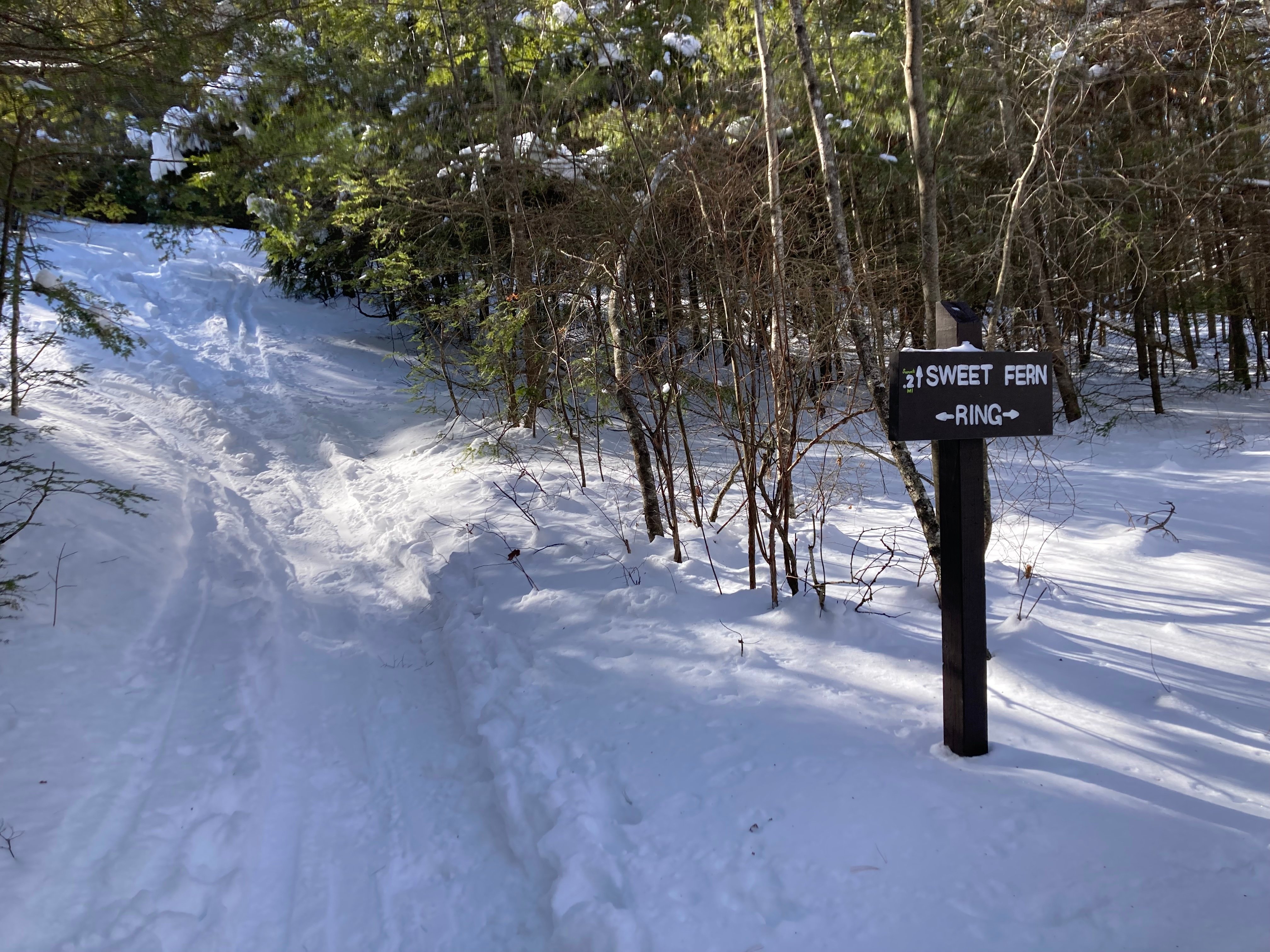
The climb back up was best towards the northeastern side of the hill, where the Ring Trail drops you off at Sweet Fern. It was a really pleasant skin up, especially as some of the snowshoers and other skiers had really packed the trail down.
There were quite a few ski tracks in a few areas full of “no cutting” signs, which I guess means that some of the conservation types caught some of the skiers attempting to make their own ways. I found the skiing just fine without wrecking the forest—you want some branches and such in your backcountry experience, right? The endless plastic signs from the conservation folks did lessen the feeling of being in nature, though. The best line was starting off at the one trail top sign and aiming for Mt. Washington, far in the distance. None were all that long—maybe 200 vertical feet total, with about half of it pretty good. This was more constant touring, going down and back up rather quickly. You’d want to be very used to putting on and removing your climbing skins.

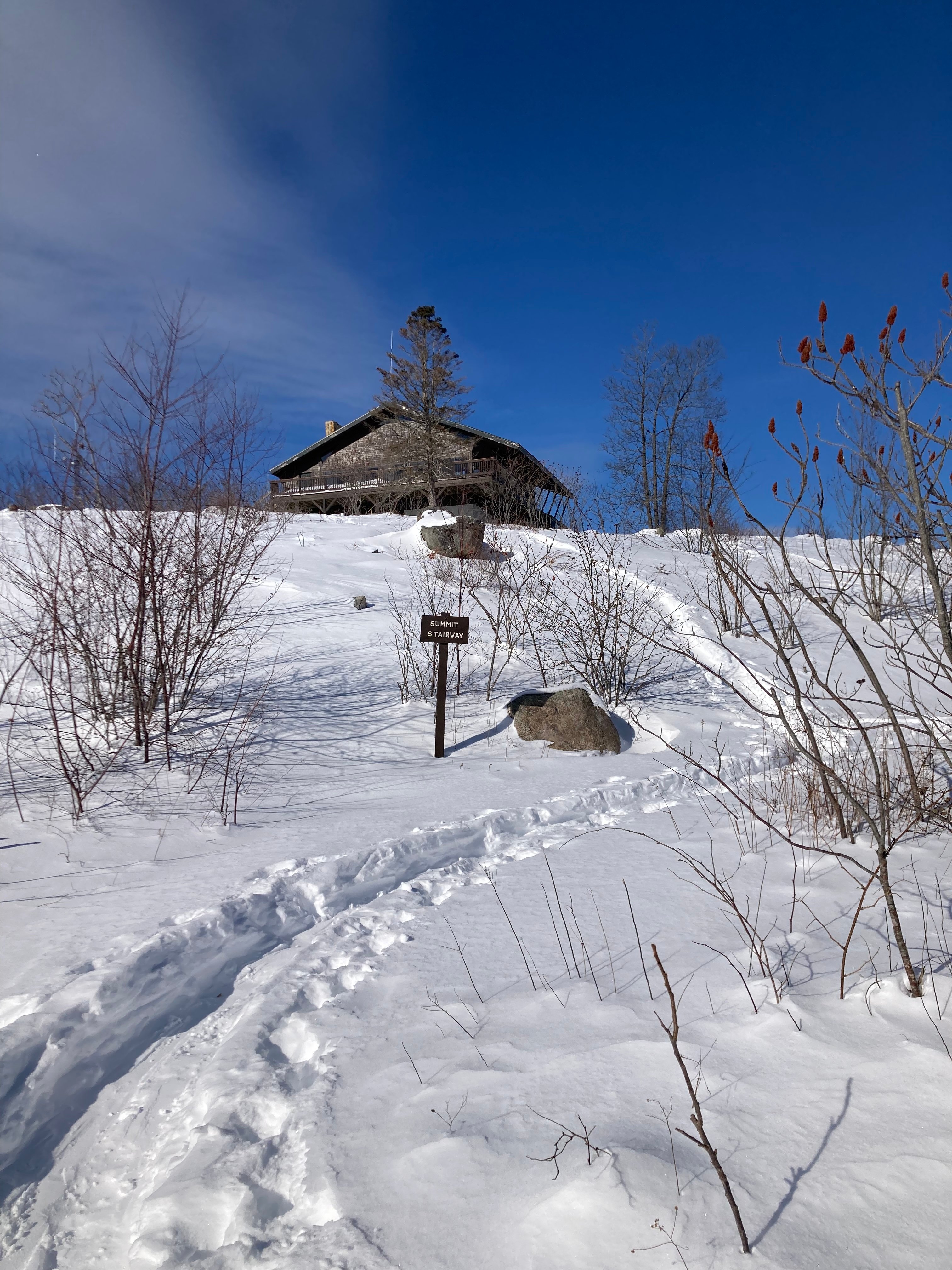
On my last run, I went back across the summit, down the “stairs” and then back along the Ring Trail to the parking lot. While it’s completely grown over, I could imagine the skiers having just as much fun in the Mt. Agamenticus woods 50 years ago.
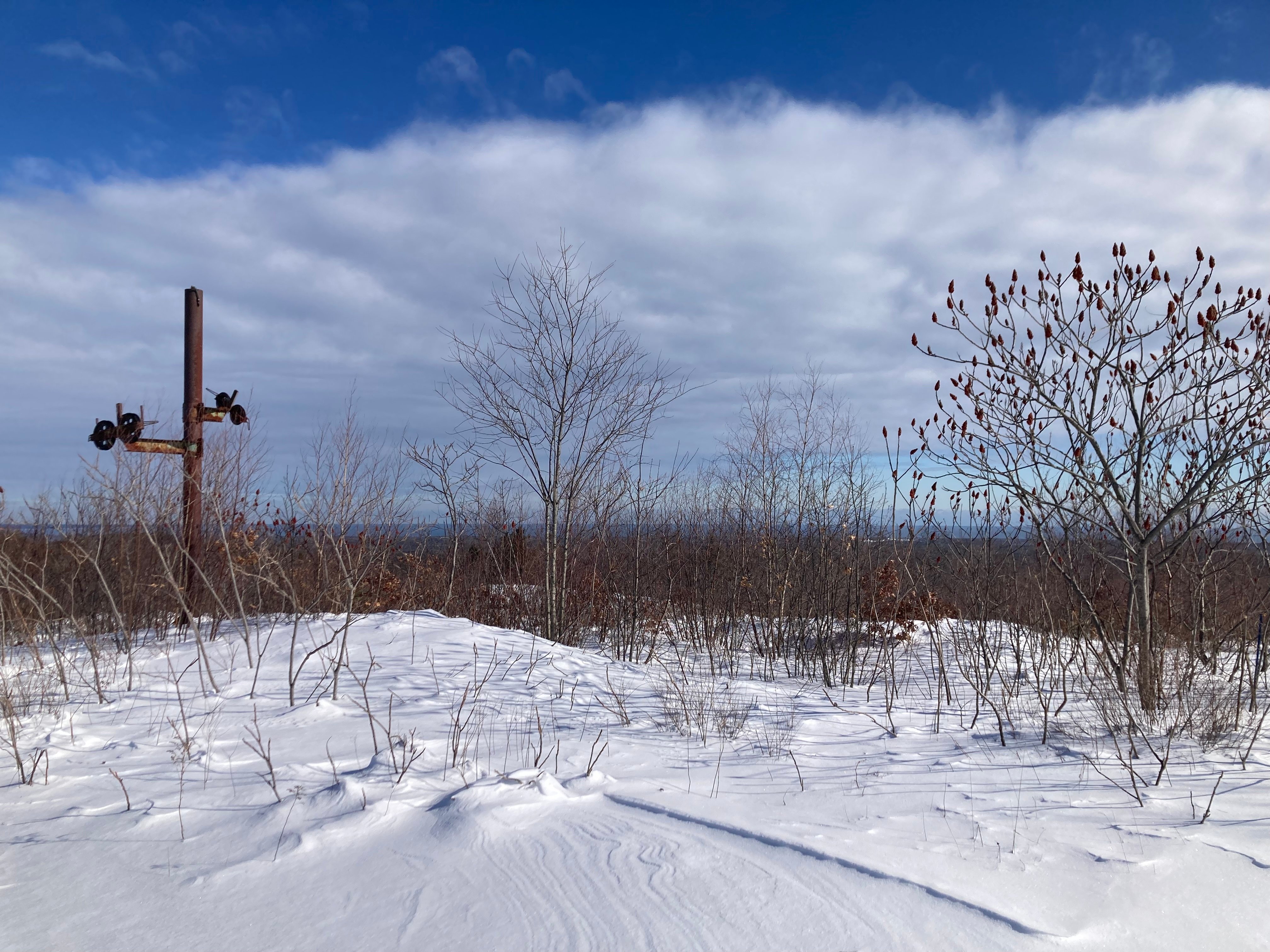
(That blue line in the distance is the Atlantic Ocean.)
Mapping to Mt Agamenticus Trailhead and Parking takes you right to where I started. You can use this online trailmap as a guide, although the conservation region has paper maps available, too.
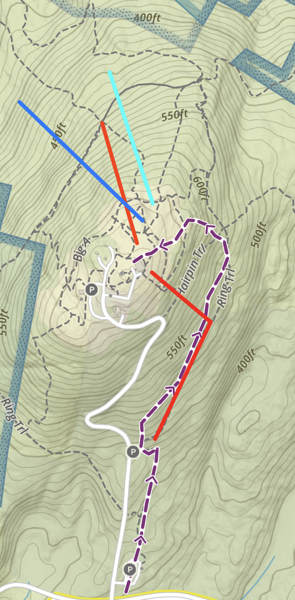
My ascent is in purple on the bottom of the map below; my runs are roughly in blues and reds: